Close
CloseOur Communities


Stronger Together
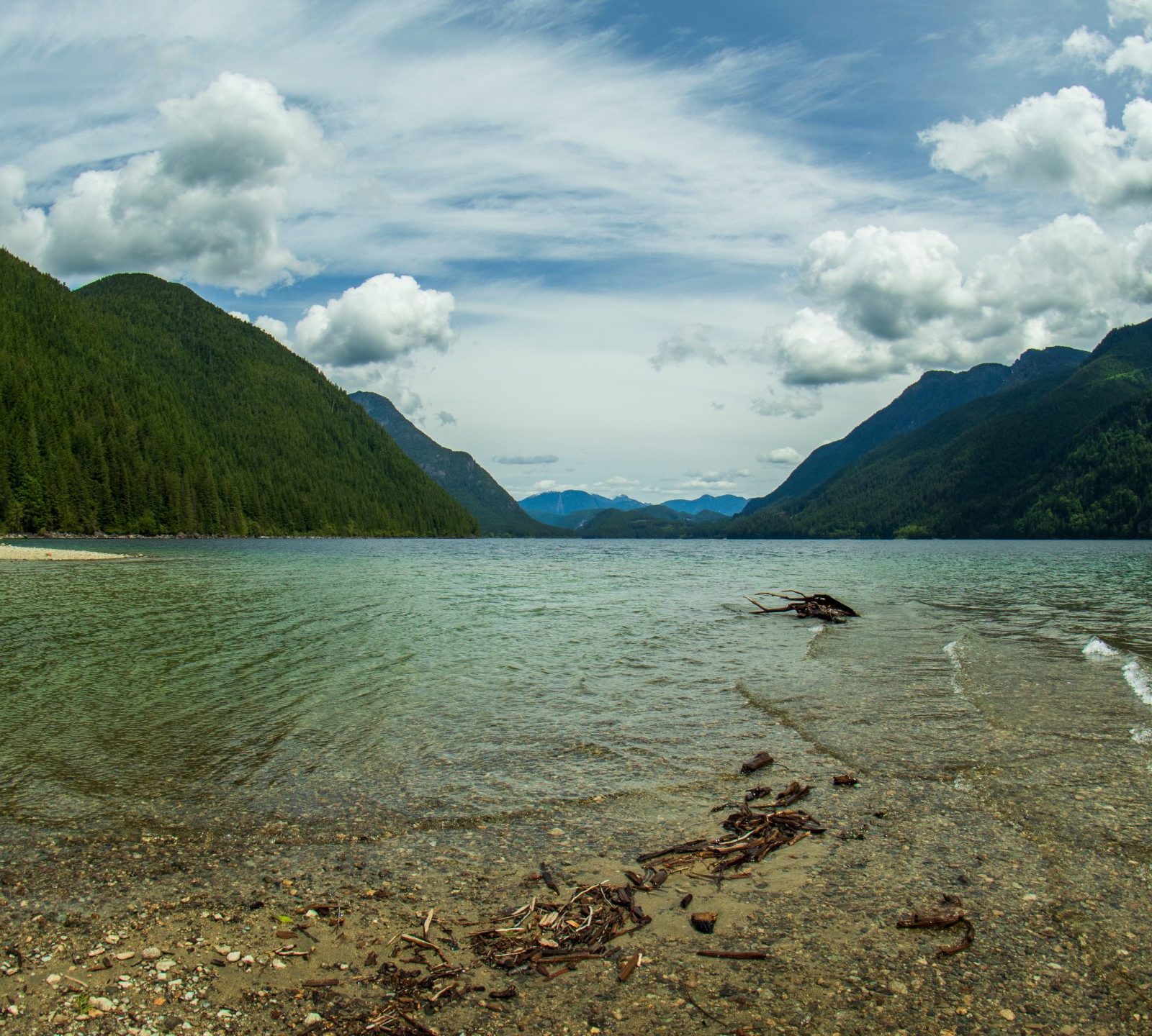
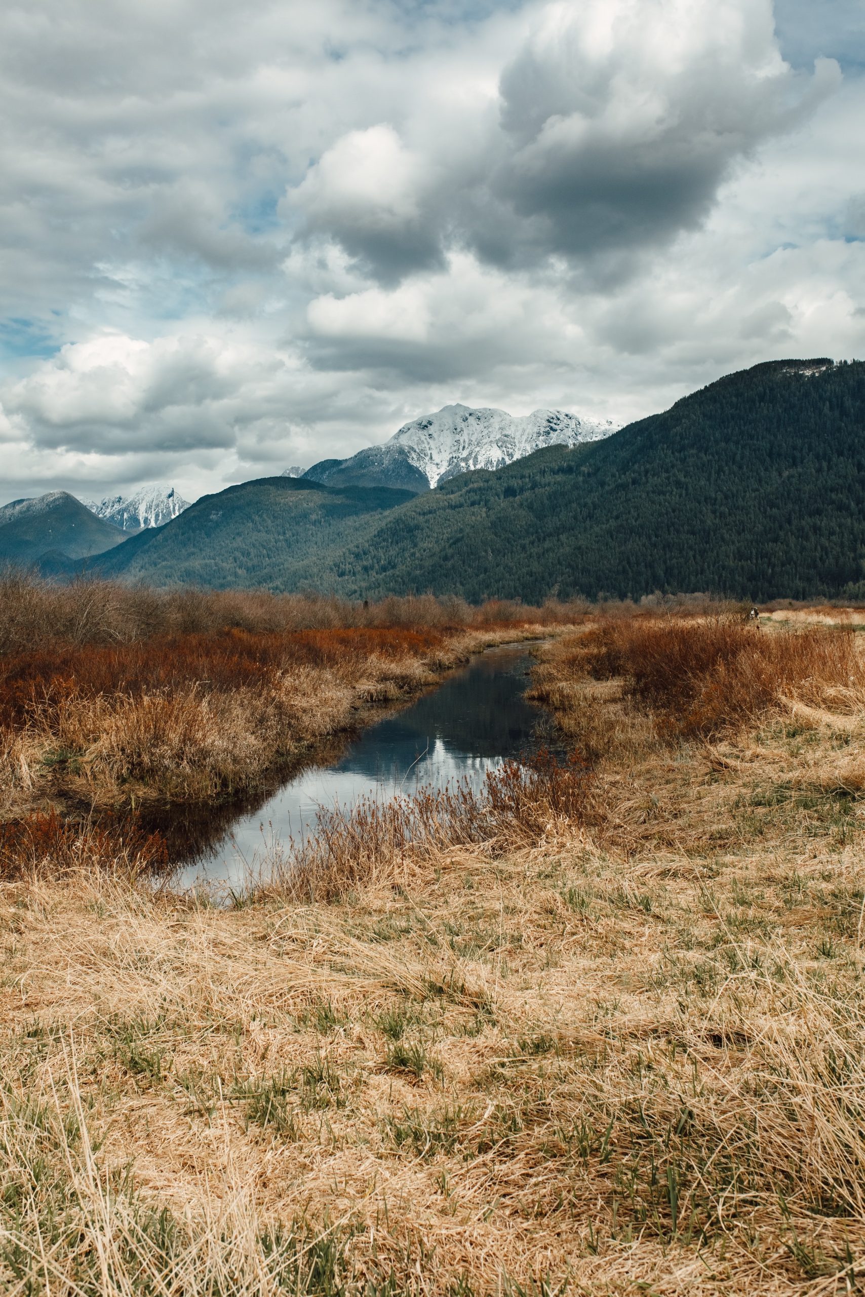
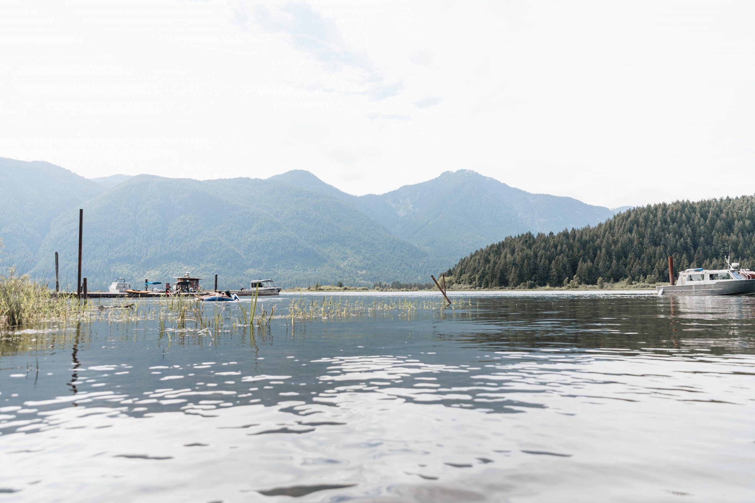
Our LIP includes the city of Maple Ridge, the city of Pitt Meadows and the territory of the Katzie First Nations. This region is bordered by mountains and rivers and is known for its natural beauty and access to the outdoors. Learn more about our communities here.
About Maple Ridge
Maple Ridge is a city in British Columbia, Canada. It is about 270 square kilometres and is located on the traditional territory of the Katzie and Kwantlen First Nations. It is in the northeastern section of Greater Vancouver between the Fraser River and the Golden Ears Mountains, about 40 kilometres east of Vancouver.
Maple Ridge is the 13th largest city in BC and is one of the fastest growing in the province.
- Since 2016, the population has grown by 11%, and in 2021, the population was 92,056.
- About 22.5% of residents are born outside of Canada.
- In 2021, about 78% of residents spoke English as their mother tongue.
The next most common first languages are Chinese (2.5%), Punjabi (1.5%), Tagalog (1.5%), Persian (1.5%), Spanish (1.2%), Korean (1.1%), and French (1.0%).
The community is very family-friendly and more affordable than Vancouver and other neighbouring communities. The majority of residents live in free-standing single family homes. About 80% own their homes and 20% rent. To learn more about the cost of living in Maple Ridge, visit Loyal Homes.


More About Maple Ridge
Forestry and agriculture are its leading resource sectors. It is also home to light and medium manufacturing, with most employment being in the service and construction sectors. To learn more about employment in Maple Ridge, visit Industries in Maple Ridge.
Maple Ridge has a very good school district, offering many educational pathways. It is also home to one of the province’s best private schools. It does not have any post-secondary institutions, but several colleges are located in nearby communities: Douglas College in Coquitlam, the University of the Fraser Valley in Abbotsford, and Kwantlen Polytechnic in Langley.
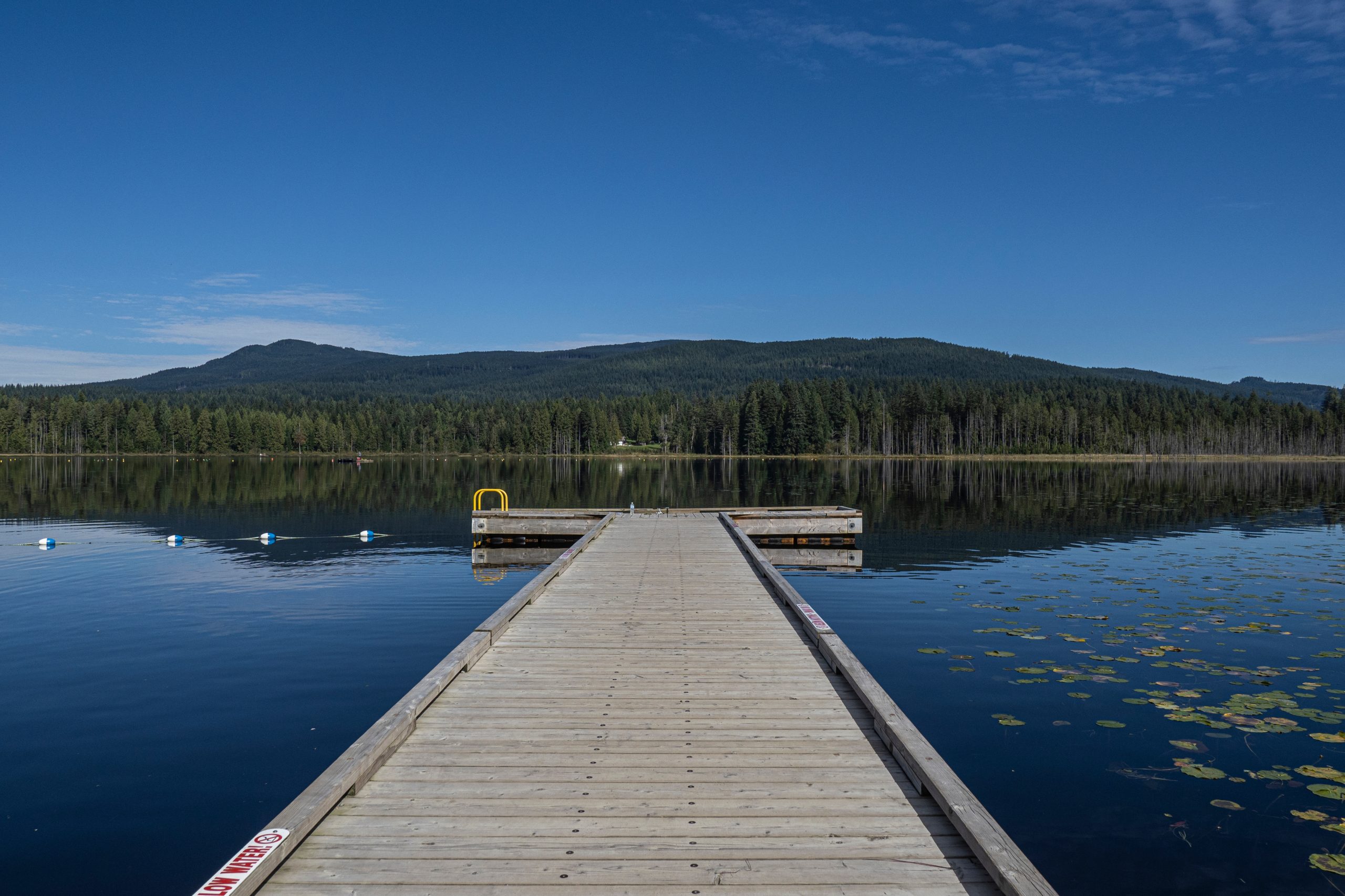
Maple Ridge is situated close to beautiful mountains and several rivers and lakes. The surrounding nature is beautiful and great for people who enjoy walking, hiking, horseback riding, and cycling. There are many dog-friendly parks and places to both fish and swim. The city also has a small downtown core full of shops and restaurants. To learn more about activities and attractions in Maple Ridge, visit Vancouver’s Best Places.
To learn more about Maple Ridge, visit the City’s website.
About Pitt Meadows
Pitt Meadows is a city in British Columbia, Canada. It is 86 square kilometres (33.34 sq mi) and is located on the traditional territory of the Katzie First Nation. It is in the northeastern section of Greater Vancouver, about 38 kilometres east of the City of Vancouver. It is bordered by the Fraser River to the south, the Golden Ears mMountainsto the north, and the Pitt River to the west.
In 2021, Pitt Meadows had a population of 19,146 with a 3% growth rate, a rate much lower than Maple Ridge’s growth rate of 11%. About 22.5% of residents were born outside of Canada. The largest ethno-cultural groups include South Asians, Filipinos, Chinese, Koreans, and Latin Americans.
The community is very family-friendly and more affordable than Vancouver and other neighbouring communities. It is about a 30 minutes drive to Vancouver and it is also serviced by the Westcoast Express. The majority of residents live in free-standing single family homes. About 80% own their homes and 20% rent. To learn more about the cost of living in Pitt Meadows, visit Loyal Homes.
More About Pitt Meadows
Pitt Meadows is primarily comprised of farmland; 78% of its land mass is held within the BC Agricultural Land Reserve. It is known for its specialty crops, including blueberries, cranberries, raspberries, and strawberries. The Fraser River also supports a commercial fishery, and forest products are a major resource sector in the region. It is also home to the Pitt Meadows Airport and the 200-acre Golden Ears Business and Industrial Park, which hosts a 145,000-square-foot Amazon distribution centre.
School District 42 serves Pitt Meadows and Maple Ridge. It is a very good school district, offering many educational pathways. The district is also home to one of the province’s best private schools. It does not have any post-secondary institutions, but several colleges are located in nearby communities: Douglas College in Coquitlam, the University of the Fraser Valley in Abbotsford, and Kwantlen Polytechnic in Langley.
Pitt Meadows is located close to beautiful mountains and several rivers and lakes. The surrounding nature is beautiful and great for people who enjoy walking, hiking, boating, horseback riding, and cycling. There are many dog-friendly parks and places to both fish and swim. The city also has a small downtown with shops and restaurants. To learn more about activities and attractions in Pitt Meadows and Maple Ridge, visit Vancouver’s Best Places.
To learn more about Pitt Meadows, visit the City’s website.
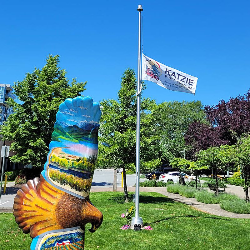
About Katzie
The territory of the Katzie Nation includes Maple Ridge and Pitt Meadows, as well as Delta, Surrey, Coquitlam, Langley, and White Rock. The territory also includes portions of Pinecone Burke, Golden Ears, and Garibaldi Provincial Parks. At the centre of the territory is sq̓ə́yc̓əyaʔɬ x̌acaʔ (the lake of the Katzie), now known as Pitt Lake.
The Katzie are traditional hənq̓əmínəm̓ speaking people. There are more than 600 Katzies, and most of the growing community continues to live in this traditional territory. .
The Katzie is working with the provincial and federal governments to develop a new and incremental approach to achieving self-governance. This is a way for the Katzie to exercise its inherent right to self-governance and self-determination, and it is a form of reconciliation.
To learn more about the Katzie Nation, visit the territory’s website.
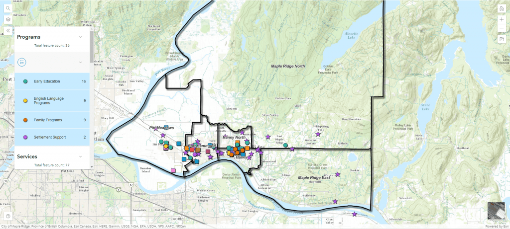
Community Maps of Programs and Services for Newcomers
The LIP conducted a scan and a series of consultations to identify nearly 100 programs and services available within the region to support immigrant settlement and integration.

Asset Map
View the Interactive Asset Map: